Our Services
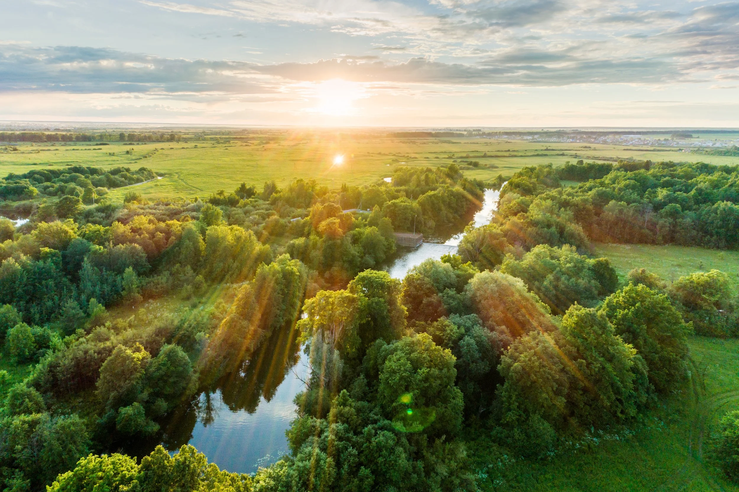
Aerial Analytics Driving Sustainable Land Management
-

Plant Health Monitoring
Identify crop stress, nutrient deficiencies, and irrigation issues with high-resolution multispectral imaging, enabling proactive management and improved yield outcomes.
-
Seed Emergence Analysis
Assess early-stage crop growth to ensure uniform germination, allowing for timely interventions.
-

Weed, Pest, and Disease Detection
Detect invasive weeds, harmful pests, and crop diseases early using advanced aerial analytics, reducing the need for excessive chemicals.
-
Plant Counting
Accurately measure plant density and detect gaps in crop coverage to enhance planting efficiency and maximize productivity.
-
Terrains for Water Management & Drainage Design
Generate precise topographical maps and hydrological models to improve water distribution, drainage planning, and soil conservation efforts.
-

Volume Calculation
Accurately measure stockpile volumes for feed, silage, and other agricultural materials, optimizing inventory management and reducing waste.
-
Custom Solutions
Our team works with you to identify your needs, create a specific data-capture plan, and deliver personalized data-driven insights that will have an immediate impact on your operation.
Our Services
-

Agricultural Management
Use High-Resolution Aerial Data to Improve Outcomes in Farming, Resource Management, and Scientific Research
Whether you're managing a farm, delivering agricultural or conservation initiatives, advising producers, or advancing agricultural science, you need reliable data to support strategic action. At Terralynx, we help farmers, agribusinesses, government agencies, and researchers gain the insights needed to guide practices, policies, investments, and innovation through precise aerial intelligence.
-
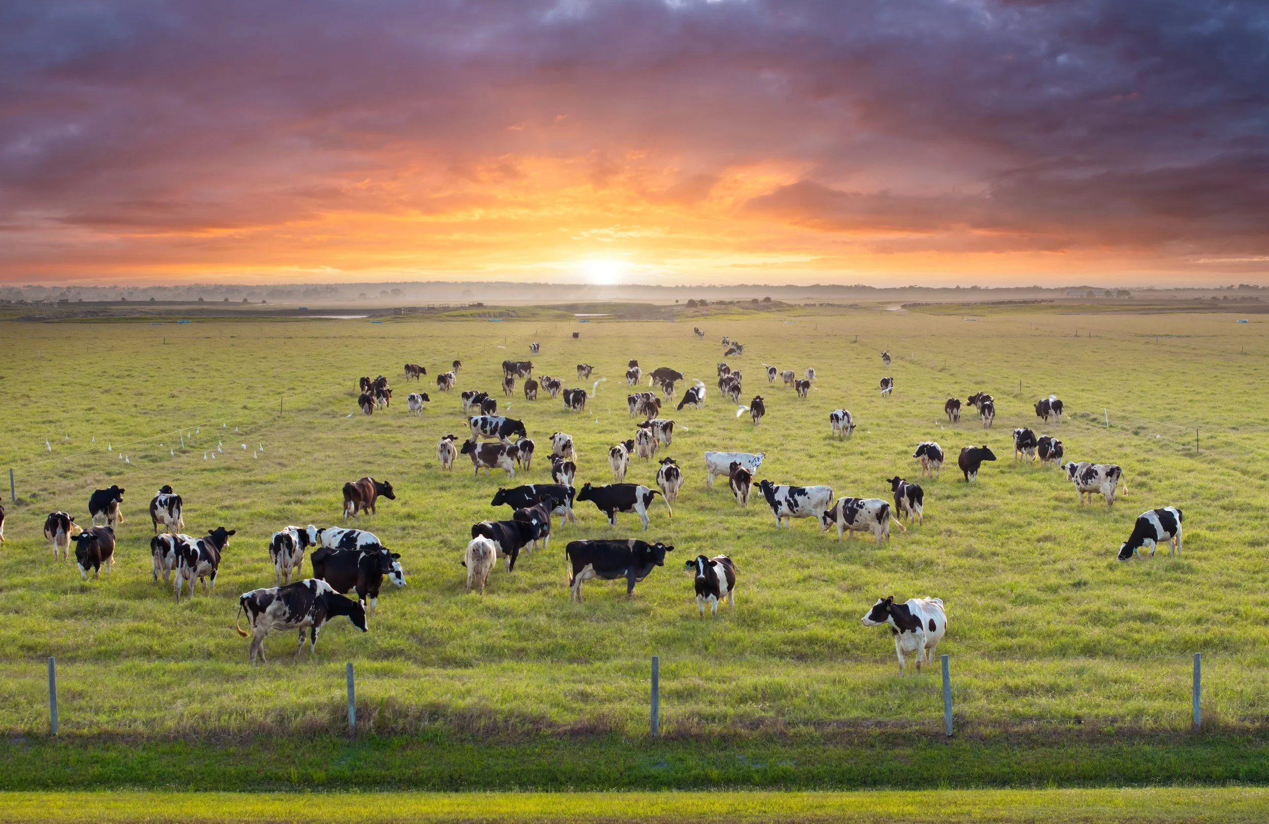
Livestock and Dairy Management
Precision Data for Smarter Livestock & Dairy Management
Feed management is one of the most critical components of livestock operations. With Terralynxʼs LiDAR-based aerial data, livestock and dairy producers can precisely measure silage, hay, and other feedstock inventories to improve planning, reduce waste, and strengthen budgeting decisions.
-
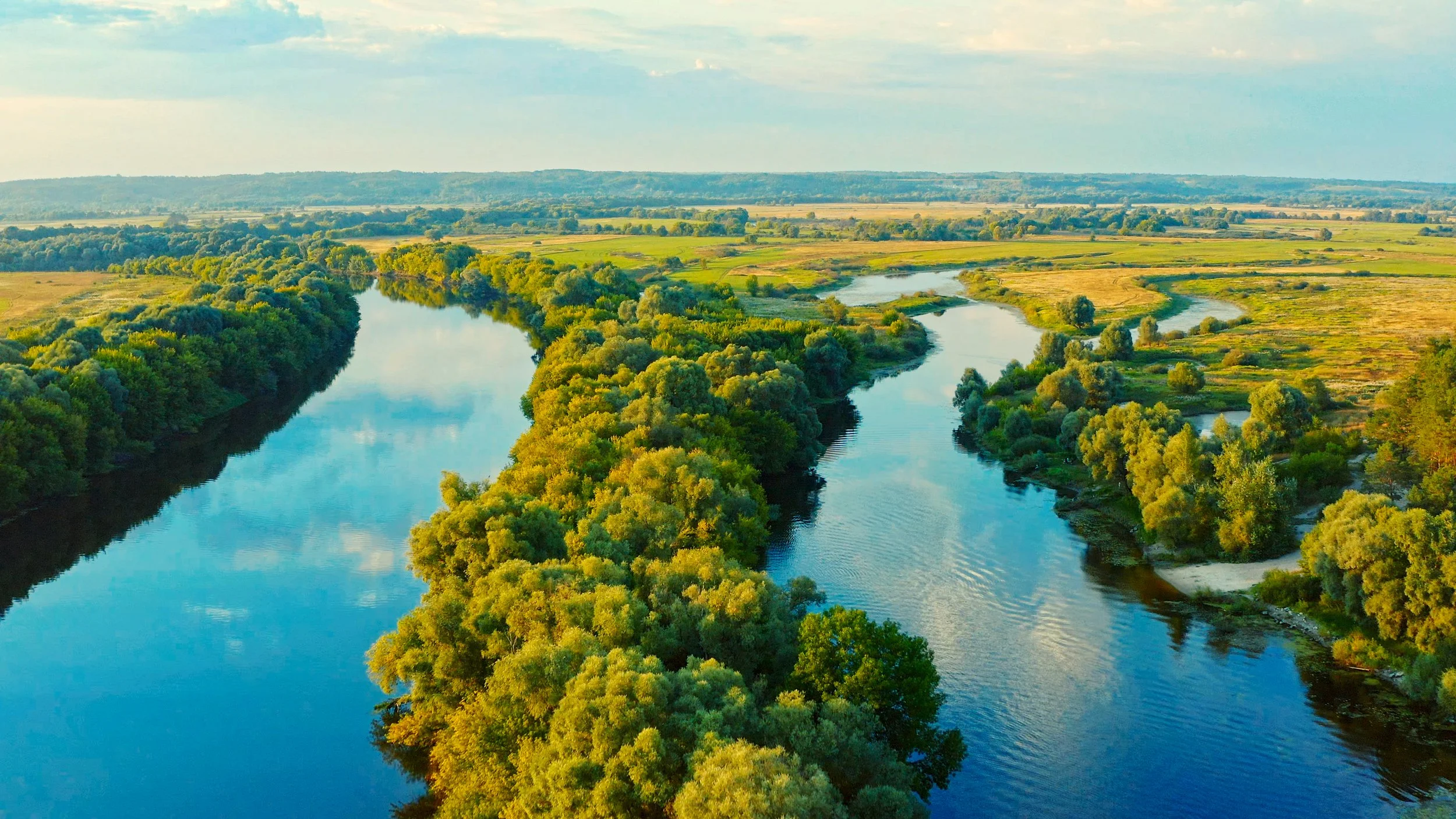
Water Management
Transforming Water Management, Drainage Design, and Engineering with Unmatched Data Accuracy
Managing water resources effectively requires precise data and actionable insights. At Terralynx, we provide high-resolution LiDAR and aerial mapping solutions that empower drainage contractors, water management professionals, municipalities, and engineering firms to make informed decisions, optimize planning, and execute projects with confidence.

Start Your Next Project with the Right Data
Founded in 2017 to help farmers improve crop management, Terralynx has since become a trusted partner for across industries. Based in Ontario, Canada, our teamʼs expertise spans many backgrounds, including agriculture, aerospace, and technology (hardware and software).